My plans for day 4 were to continue hiking up in the San Juan mountains. Mother nature had other ideas, however.
The monsoon was really active in the southwest and the forecast called for plenty of rain and strong thunderstorms in the afternoon. I had considered camping up in the San Juans near the Blue Lakes, US basin or American basin., but there were multiple reports of bear sightings which had me thinking twice about this plan. I didn’t want to stay in a tent without bear spray, in a thunderstorm.
I was eating lunch at the Brown Bear Cafe in Silverton, debating my next move, when I ended up talking to a group that was also touring Colorado for the excellent wildflower display. They told me of a few places much further north that was off the charts again for wildflowers. They said I should check out the Sawatch Mountains, particularly Shrine Pass and Shrine Pass road! 10 mile canyon near Frisco was also rumored to have a lot of wildflowers.
Once lunch was finished, I checked the weather forecasts for points north of me. The forecast showed the rains and storms sticking to the southwest corner of the state, so I immediately began driving north and ended up on HWY 285 into Leadville, then HWY 24 up to I-70/Frisco.
From I-70, I took exit 190 to Shrine Pass Rd. This dirt road starts at Vail Pass and ends at the town of Redcliff. It can be traveled in either direction by car or bike. Shrine Pass Road is also a popular bicycle path, and is passable by all but the lowest passenger cars and is relatively easy for mountain bikers. Even the lowest passenger cars can probably navigate it if they’re careful doing so. The road also offers views of Mount of the Holy Cross in the Sawatch Range, which has an interesting history. I’ll talk more about that in a bit.
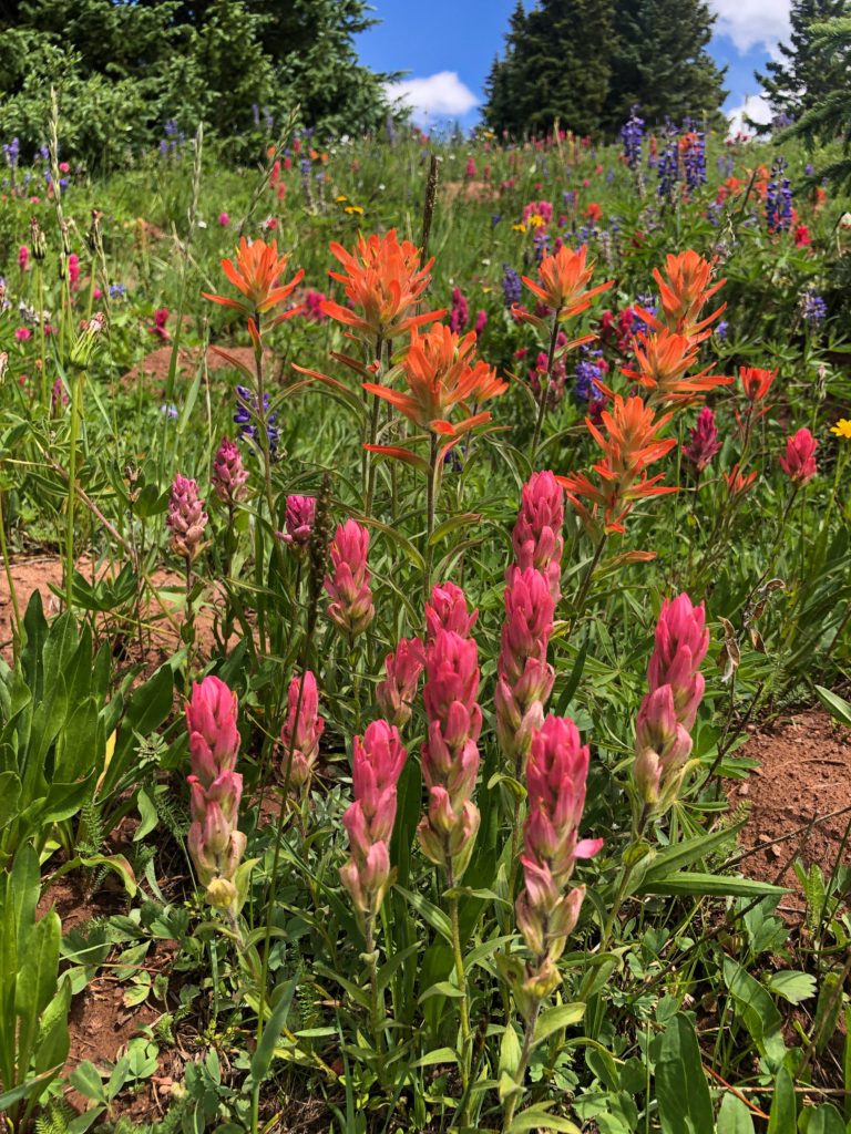
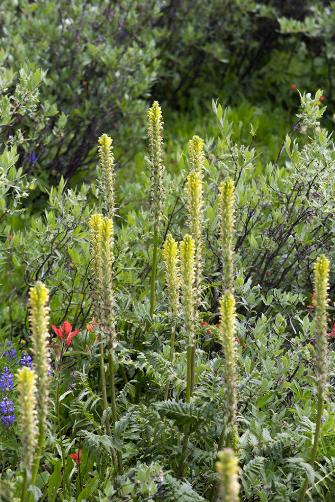
The wildflowers were everywhere in the fields off of Shrine Pass Road! I didn’t even have to get to the trail and hike to see flowers everywhere. This is a rather steep, but fairly short trail. It’s less than 3 miles to the top.
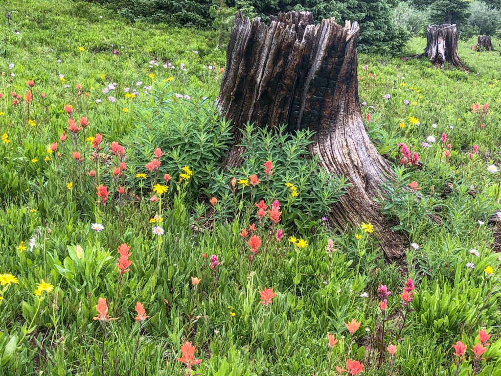
The easy to follow trail starts right off of the road, running through a marshy, muddy valley bottom. There’s a gradual curve in the trail that starts climbing up into and through a forest that had previously burned. Forest burns are just part of a normal life cycle of a mountain forest. The large trees and forests burn down. This opens the landscape up to sunlight for a number of years. The wildflowers thrive in areas that have previously burned. In about 5 years, shrubs began to take over the landscape and new pine trees sprout. Those new pine trees begin to dominate the landscape about 10 years after a fire and the shrubs and most wildflowers are pressed back into dormancy until the next fire opens up the landscape once again decades later.
I eventually passed through the charred remains of a forest and came into a healthy pine forest. There were no flowers in the forest, but the pine scent was amazing. The trail was still well marked and easy to follow. Abundant snowfall and summer rains also fed a handful of creeks that had to be forded. Fording was easy as the creeks weren’t very big and multiple pine logs had been laid over the creeks.
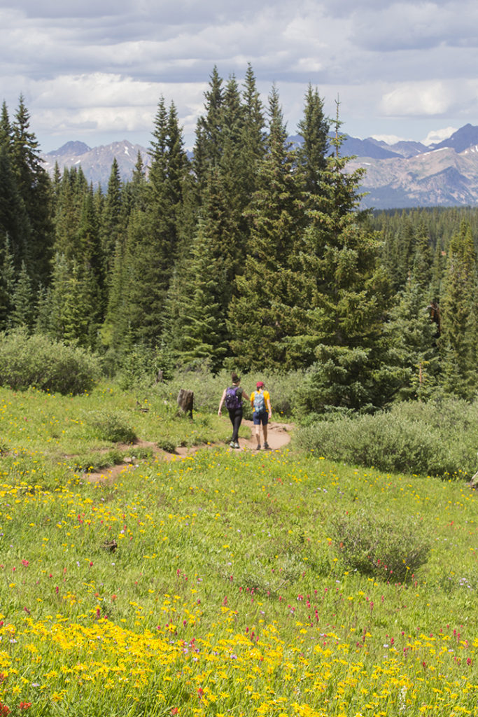
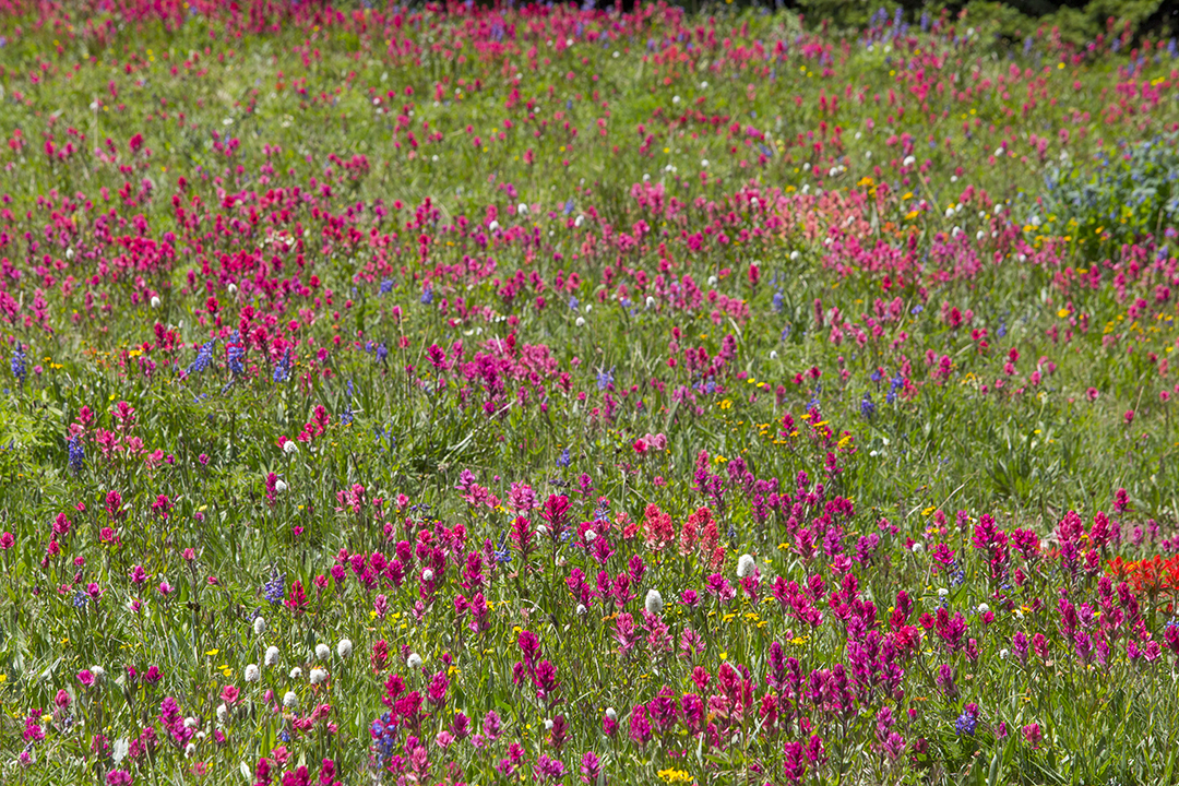
The trail curved up and out of the pine forest. I was now above treeline. This is a rather short trail, and once above treeline, I only had another steep mile to go before I made it to the actual Shrine Pass overlook. Once up and over the pass, I saw an unbelievable carpet of different colors!
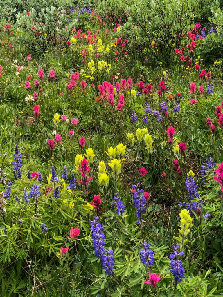
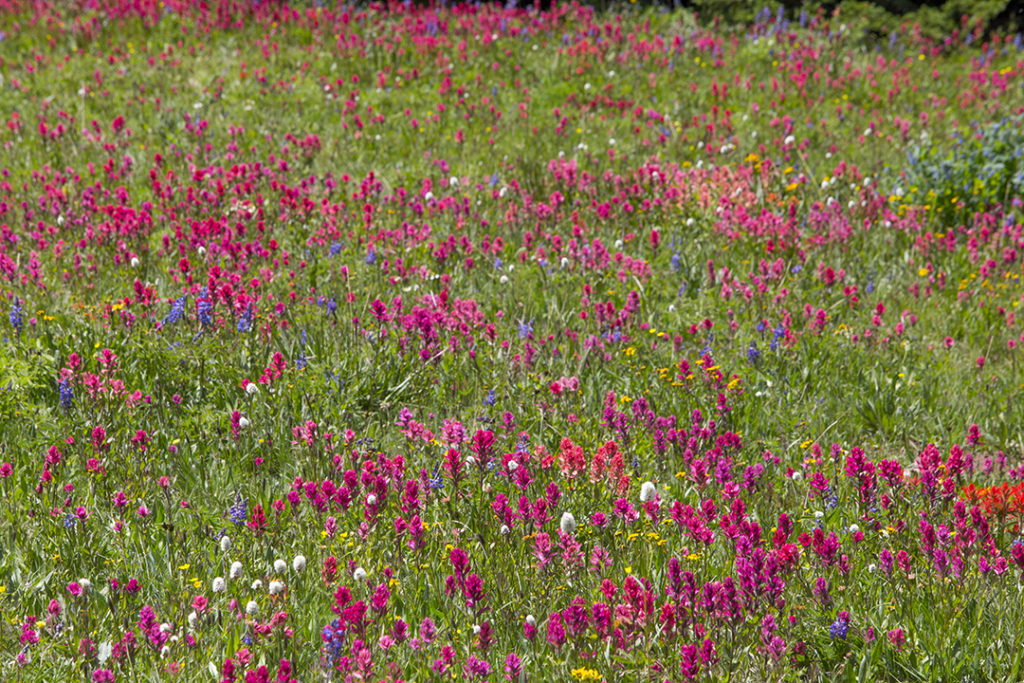
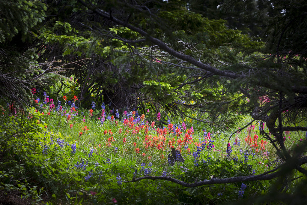
Hikers have the option to continue hiking once they reach the top. There really isn’t a definitive end to this trail. 95% of hikers reach the initial ridge off of the trail, look at the immediate field of wildflowers, then begin hiking back down. You can continue along the ridge line and hike down into additional valleys if you desire. I hiked over the ridge and partially down the other side to find the best display of flowers on the entire mountain!
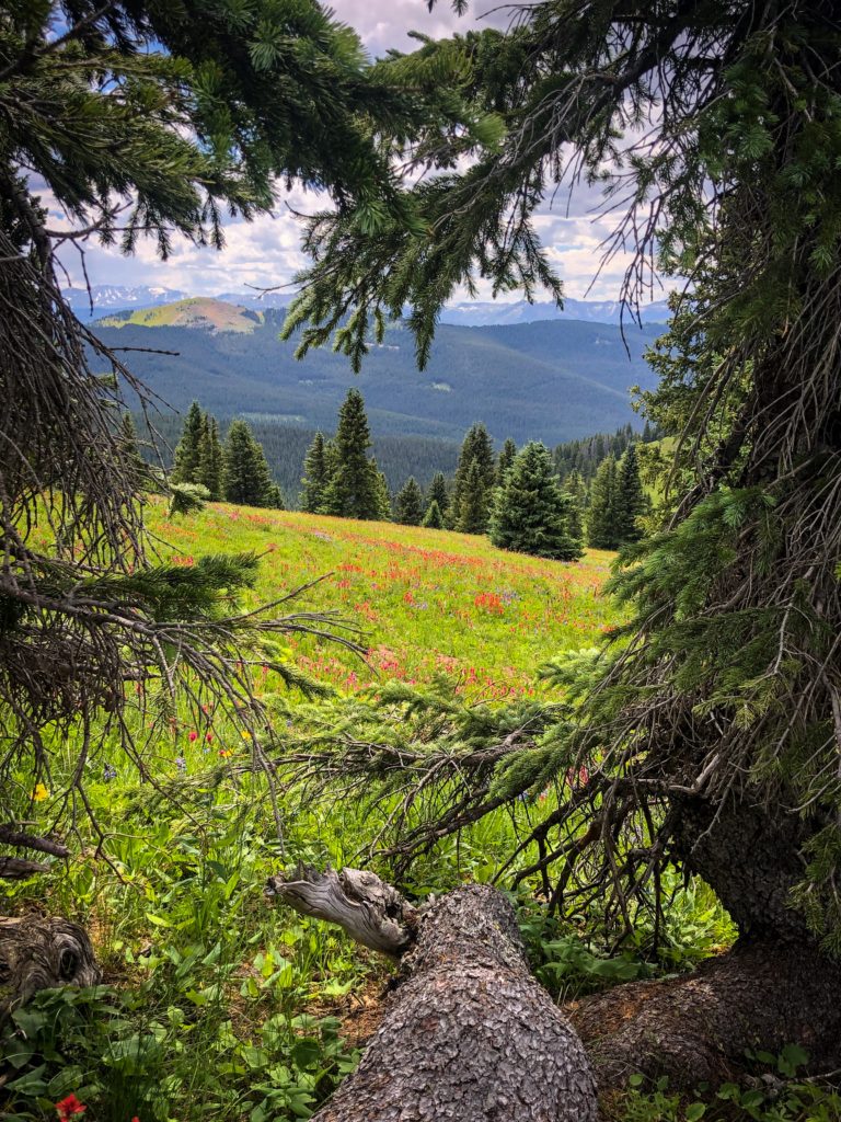
The wildflowers continued to dazzle as I aimlessly meandered down the hillside and into a scattered forest. The picture above was taken right at the edge of this scattered/broken up forest. I liked how the trees framed that picture in a heart shape!!
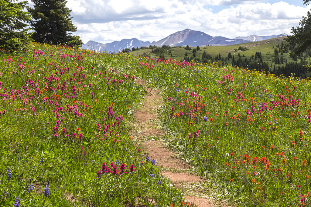
Shrine Pass has a rather interesting history, getting it’s name from the views it offers of Mt. Holy Cross, elevation of 14,005 feet. Mt. Holy Cross got it’s name from the fact that a white cross is visible for a while before melting in the spring. This “cross” is an eroded notch in the rock that is visible with snow before melting off.
When this “cross” was first photographed in 1873, this mythical peak with a snowy cross, Mount of the Holy Cross, as it was then called, captivated the nation. It was a sign of God’s stamp of approval on American westward expansion. It was a holy place where the sick sought healing. There are stories of Pilgrims and other faith healers that traveled to Shrine Pass to see this cross at the beginning of the 20th century. In the 1920s, there were a series of miracle cure pilgrimages made to Holy Cross mountain where the faithful could pray in the presence of this mountain. In fact, a self proclaimed religious healer and pastor from Denver encouraged people that were too sick to make this journey to mail their handkerchiefs to him. For a fee, he would actually bless the handkerchiefs upon the summit and return them to his patients. It was believed that these blessed handkerchiefs actually sped up the healing process! By 1932, over 2,000 handkerchiefs were blessed at the top of this mountain!
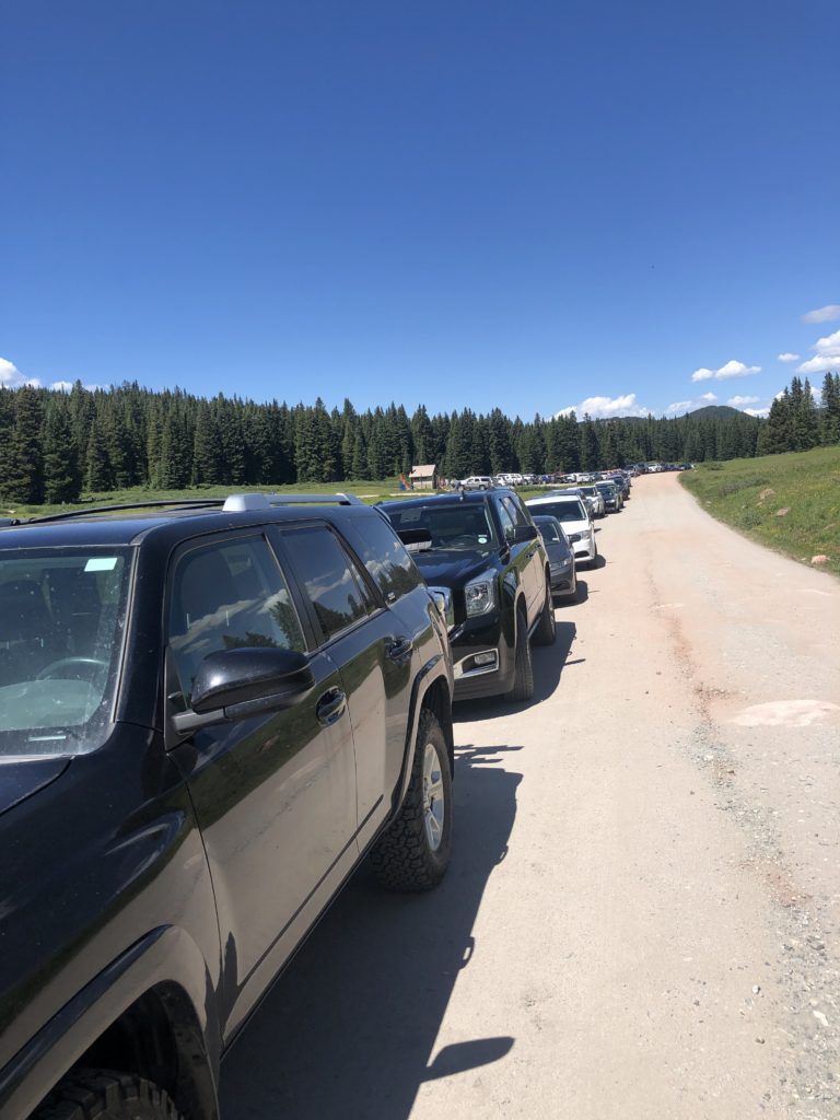
The combination of summer wildflowers and religious lore lures many people to this mountain and mountain pass. If you hike this trail, be prepared to share it with many other hikers. I had to park quite a ways up the road as the parking lot was completely full. Overcrowding is a common problem for many different attractions along I-70 that are less than a few hours from the major metropolitan areas of the front range. If you’re willing to brave the hordes of people, Shrine Pass will provide an experience that you won’t forget.
Captivating story, Jason, your words and pictures put me right there. Such a beautiful carpet of colors and textures.
Thanks for reading Kathy! I’m glad I could bring my Colorado wildflower experience to you.